
Exploring Hawaii's Big Island: Volcanoes, Waterfalls, and an Island That Lets You Explore More
A firsthand look at lava fields, waterfalls, and the realities of exploring an island twice the size you'd expect.
Quick Answer: What Makes Hawaii's Big Island Different?
- •The Big Island is roughly twice the size of all the other Hawaiian Islands combined, with up to 10 of the world's 13 major climate zones.
- •A northern loop covers Waimea, Waipi'o Valley, Akaka Falls, and Hilo, while a southern loop covers Ka Lae (South Point), Papakōlea Green Sand Beach, Punalu'u Black Sand Beach, and Hawaii Volcanoes National Park.
- •Distances are deceiving on a map. Plan for drive time between stops, not just the stops themselves.
- •Hawaii Volcanoes National Park is home to Kilauea and Mauna Loa, two active volcanoes, and deserves more than a single afternoon.
There is a reason Hawaii's Big Island feels different from the other Hawaiian Islands. It is bigger, more diverse, and constantly changing. In fact, the Big Island is roughly twice the size of all the other Hawaiian Islands combined.
Within a single day, you can go from black lava fields to lush rainforests, from towering volcanic landscapes to warm tropical beaches, and from quiet coastal towns to one of the world's most active volcanoes.
Our time on the Big Island was the perfect reminder of why I love experiencing destinations firsthand. The best recommendations come from knowing what is truly worth your time, what works well for different travelers, and where a little extra planning can make a big difference.
The Big Island is the kind of destination where you truly can explore more. It rewards curiosity, but it also requires realistic expectations. Distances can be deceiving, and a day that looks manageable on a map can quickly become much longer once you factor in drive times, weather changes, and time spent enjoying each stop.
Landing on the Big Island, ready to explore.
Discovering the Diversity of Hawaii's Big Island
One of the biggest surprises about the Big Island was just how much lava rock surrounds you. It is everywhere. Every lava field represents a different eruption, and the island's landscape continues to be shaped by its volcanic history.
The Big Island is also one of the most geographically unique places in the world. Of the world's 13 major climate zones, the island is home to up to 10 of them. The reason is elevation. The massive volcanic mountains, combined with trade winds, create completely different environments within relatively short distances.
When a single island has up to 10 climate zones, packing and planning advice cannot be generic. It is one of the reasons I like walking clients through what to expect zone by zone, so nobody is caught off guard by sunshine on the coast and cold rain an hour later.
During our time exploring, we watched the landscape and weather change dramatically as we moved around the island. One moment we were enjoying sunshine along the coast, and the next we were surrounded by a completely different climate and scenery.
This diversity is part of what makes the Big Island so special.
Exploring the Northern Loop of the Big Island
Our first full day of exploring took us around the northern part of the island. We started along the Kohala Coast and made our way through some of the island's most scenic areas.
Our first stop was Waimea, a town with a fascinating cowboy history. Hawaii's paniolo, or Hawaiian cowboys, have a history that actually predates many of the cowboy traditions most people associate with the American West.
From there, we continued to Waipi'o Valley, one of the most dramatic viewpoints on the island. Known as the "Valley of the Kings," this lush valley is surrounded by towering cliffs and has deep cultural significance in Hawaiian history.
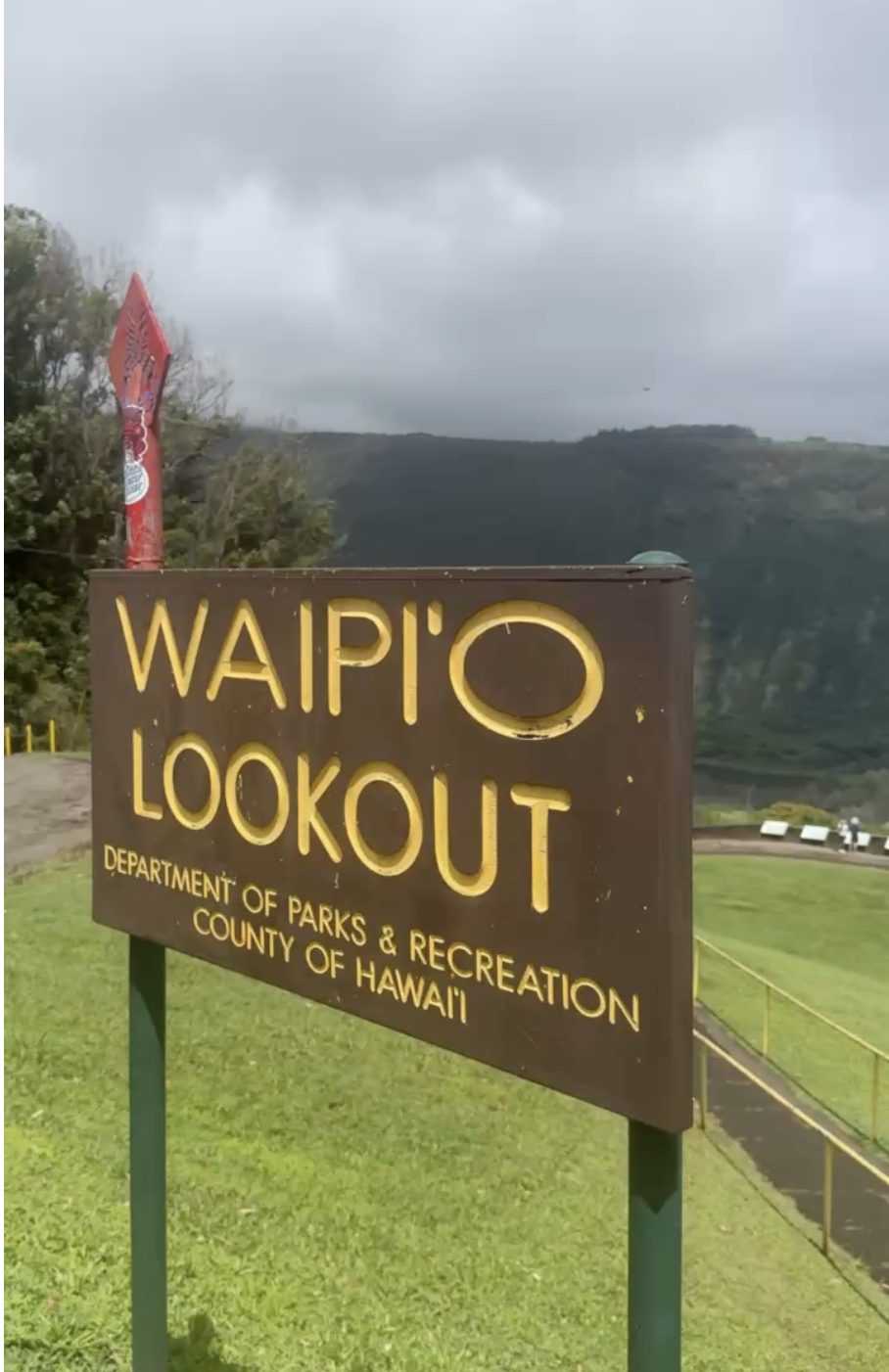
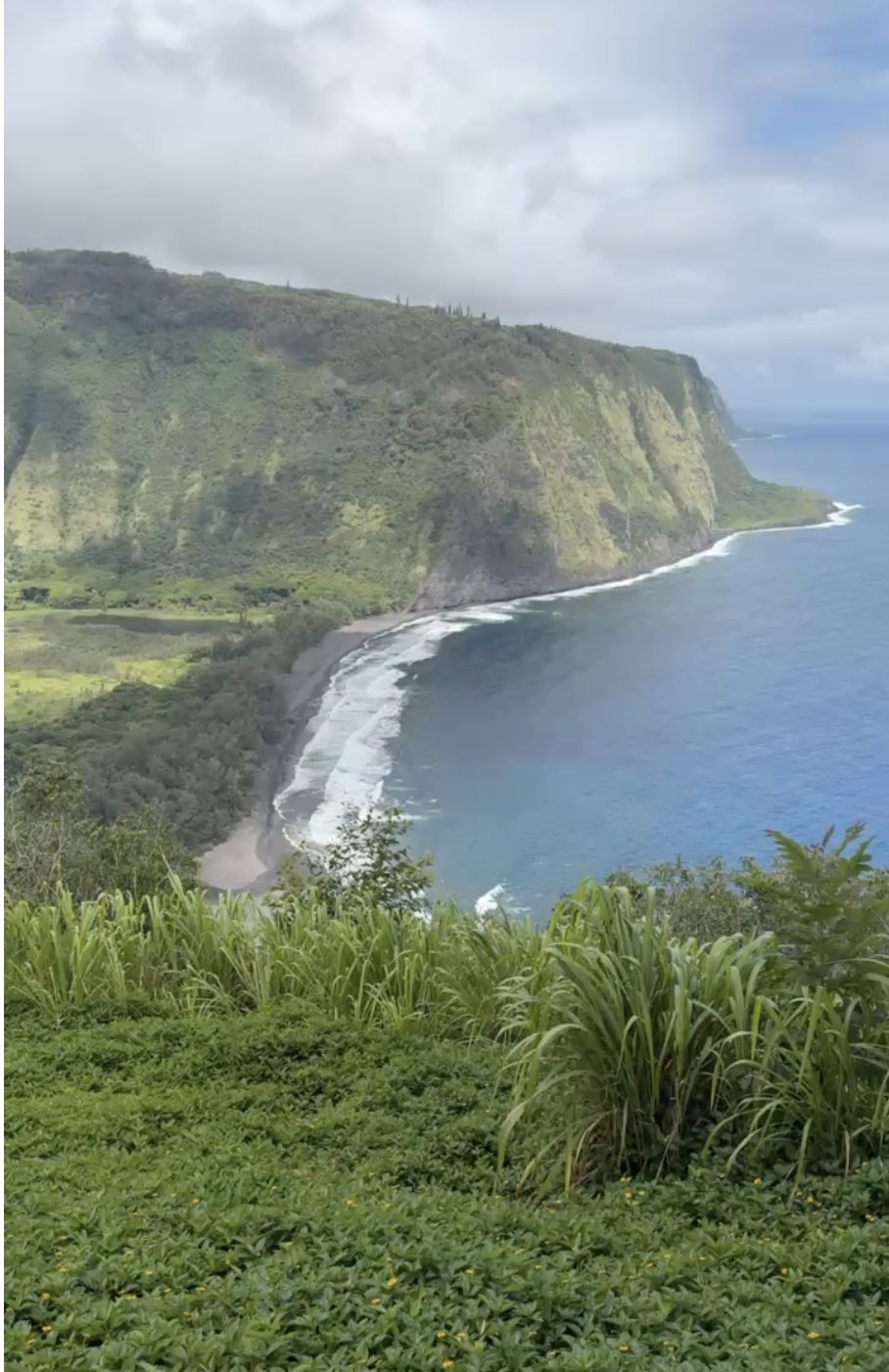
Waipi'o Valley, the Valley of the Kings, seen from the lookout above.
After taking in the views, we continued our drive and made a stop at TEX Drive-In, a Hawaii institution known for its malasadas.
If you are not familiar with malasadas, they are Portuguese-style fried dough treats that are similar to a doughnut but without a hole. They were brought to Hawaii by Portuguese immigrants and have become one of the islands' most beloved sweet treats. Many visitors consider trying a fresh malasada a must-do Hawaii experience.
We continued on to the Laupahoehoe Tsunami Monument, which honors the lives lost during a devastating tsunami. Hawaii's history is deeply connected to both volcanic activity and the ocean, and places like this are powerful reminders of the natural forces that continue shaping the islands.
Our day continued with stops at Akaka Falls, Rainbow Falls, and Boiling Pots before spending time in Hilo. The contrast between the dry Kona side of the island and the lush, tropical Hilo side was incredible.
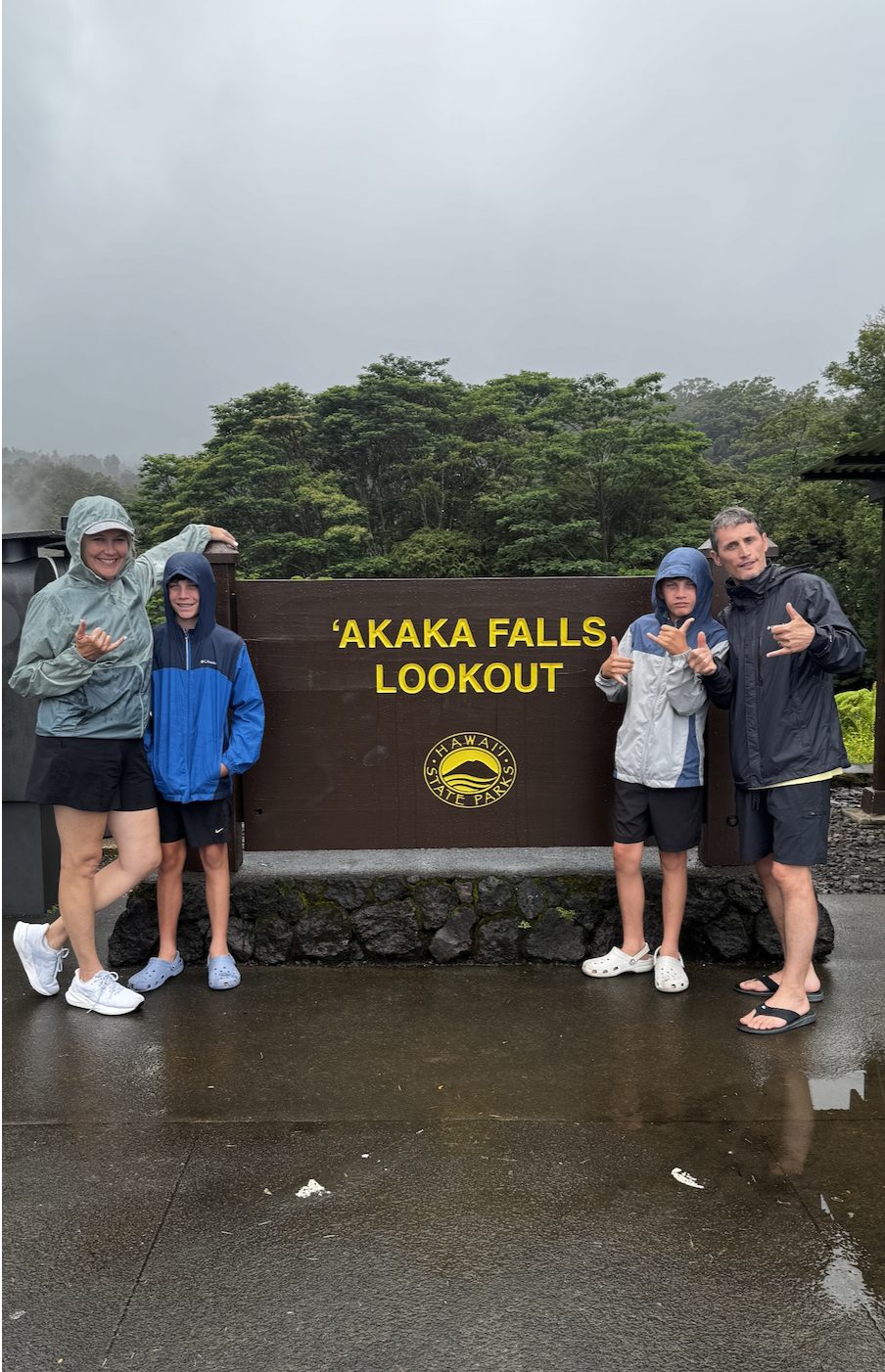
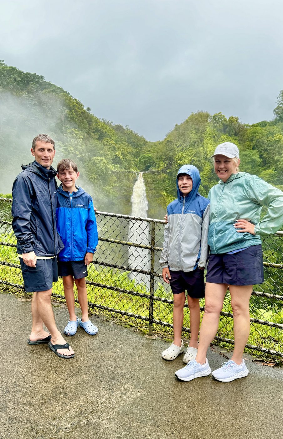
Akaka Falls, one of several waterfall stops on our northern loop.
Exploring the Southern Loop: Volcanoes, Black Sand, and Lessons Learned
Our biggest adventure day was exploring the southern part of the island. We covered a lot of ground, so we started early.
One thing to understand about the Big Island is that the distances are real. Looking at a map, stops can appear much closer together than they actually are. A day of exploring requires thoughtful planning because every stop involves drive time, and you want to leave enough room to actually enjoy each experience.
The distances are real. Looking at a map, stops can appear much closer together than they actually are.
About two hours south of the Kohala Coast is where our touring really began with a visit to Ka Lae, also known as South Point, the southernmost point in the United States.
From a geographic standpoint, it was fascinating to stand at the southernmost point in the country. From an experience standpoint, it was much more rugged than we expected. There is no large monument or visitor center marking the location, just a remote coastline, a weathered jump platform where some visitors leap into the ocean below, and strong currents that make this area one to approach carefully.
The setup itself was a reminder of the risks. There is no beach access here, and visitors who enter the water use a rope and pulley system to help climb back up the rocky shoreline. The nearby emergency rescue box also tells a story about how seriously this area needs to be treated.
Ka Lae has no visitor center, no beach access, and strong currents. If your group wants to see it, treat it as a viewpoint stop rather than a swim stop, and build in time to walk the coastline carefully.
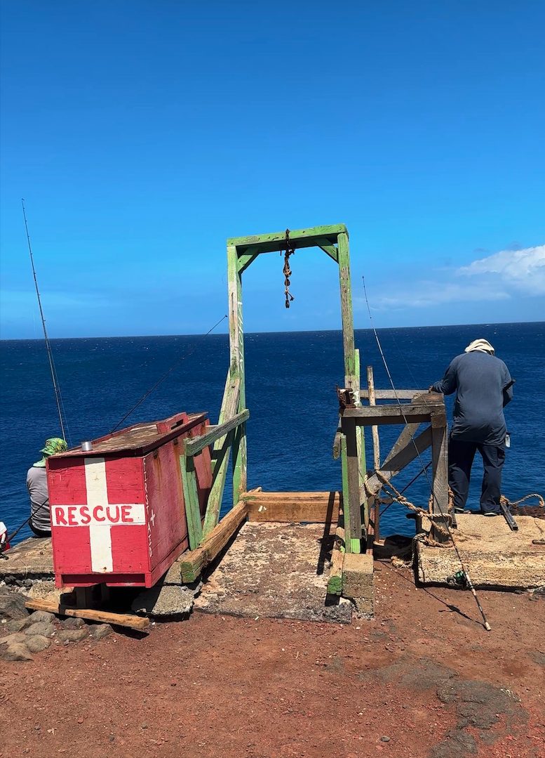
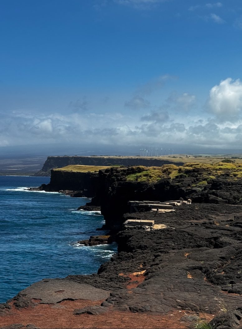
Ka Lae, the southernmost point in the United States, and a reminder of how seriously this coastline needs to be treated.
We did not jump, but we did make another adventurous choice. Since we were already nearby, we decided to visit Papakōlea Green Sand Beach, one of only four green sand beaches in the world.
There are two ways to reach the beach: hiking approximately six miles round trip or taking a local truck ride across rough terrain. We opted for the truck ride and quickly learned an important travel lesson. When we were told the ride was "10 minutes," that referred to the time once we arrived, not the actual journey to get there.
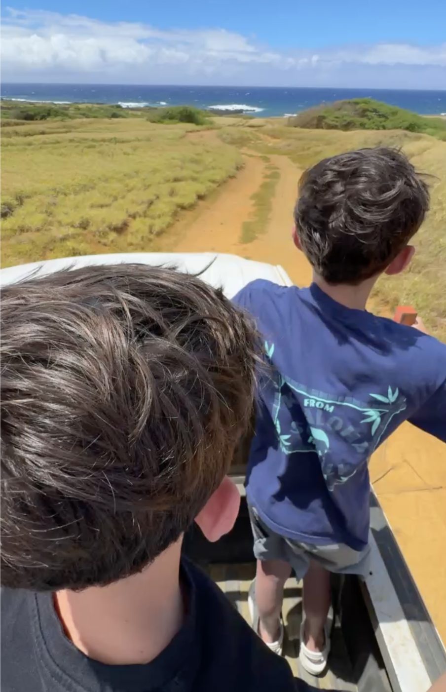
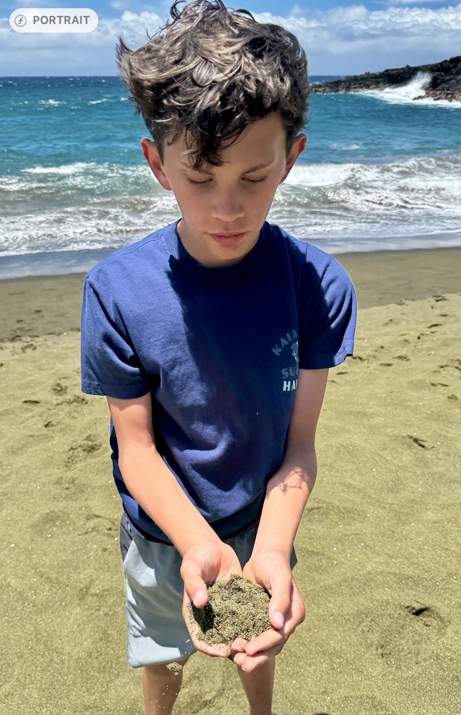
The truck ride out to Papakōlea Green Sand Beach, and the sand once we arrived.
The ride itself took about 45 minutes each way over uneven terrain.
When a local operator quotes "10 minutes" for the green sand beach ride, ask if that is the ride time or the time once you arrive. Ours took about 45 minutes each way, which changes how you budget the rest of the day.
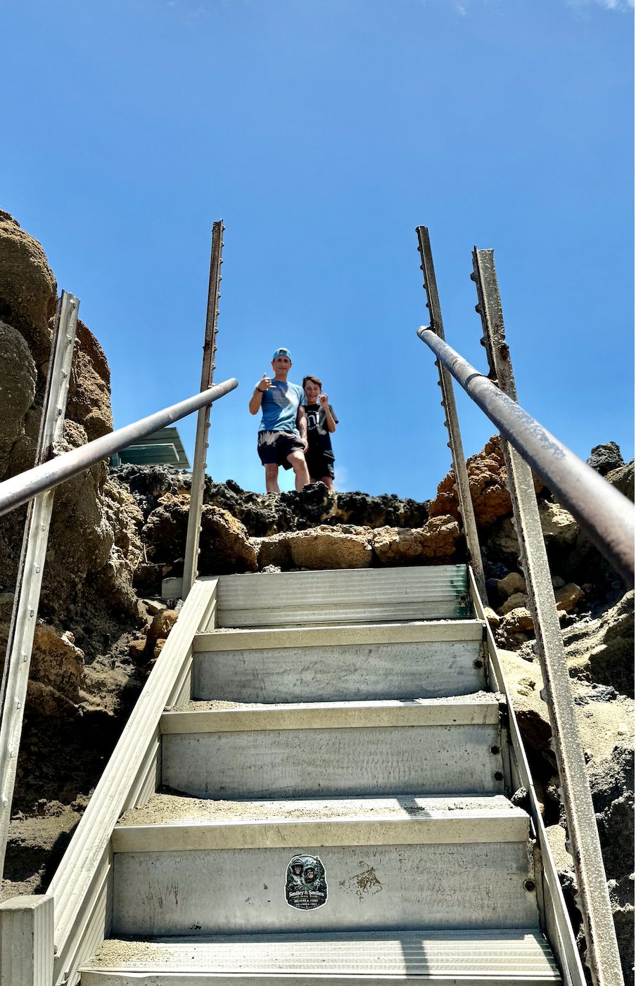
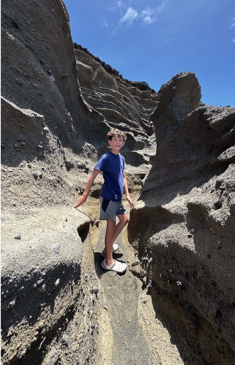
The rickety stairs and rugged path down to Papakōlea Beach.
While the experience was interesting, it was not one I would necessarily recommend for every traveler. The journey was rough, and the beach itself was not quite what we expected. The photos we had seen showed a vibrant green shoreline, but when we arrived, the sand appeared much darker, almost like wet brown sand with hints of green from the minerals.
This is exactly why firsthand experience matters. Sometimes a famous attraction is absolutely worth the effort. Other times, understanding the logistics and setting expectations helps travelers decide if it is the right fit for their trip.
This is the kind of detail I can only give you because I have done it myself. Green Sand Beach photographs beautifully online, but knowing what the ride and the payoff actually look like in person helps me tell clients honestly whether it belongs on their itinerary.
By this point, we were running behind schedule, but we still wanted to experience Hawaii Volcanoes National Park.
Before heading there, we made a stop at Punalu'u Bakeshop, the southernmost bakery in the United States. While TEX Drive-In is famous for malasadas, I actually preferred the ones here. They were delicious, and we also picked up some of Hawaii's famous sweet bread to enjoy another day.
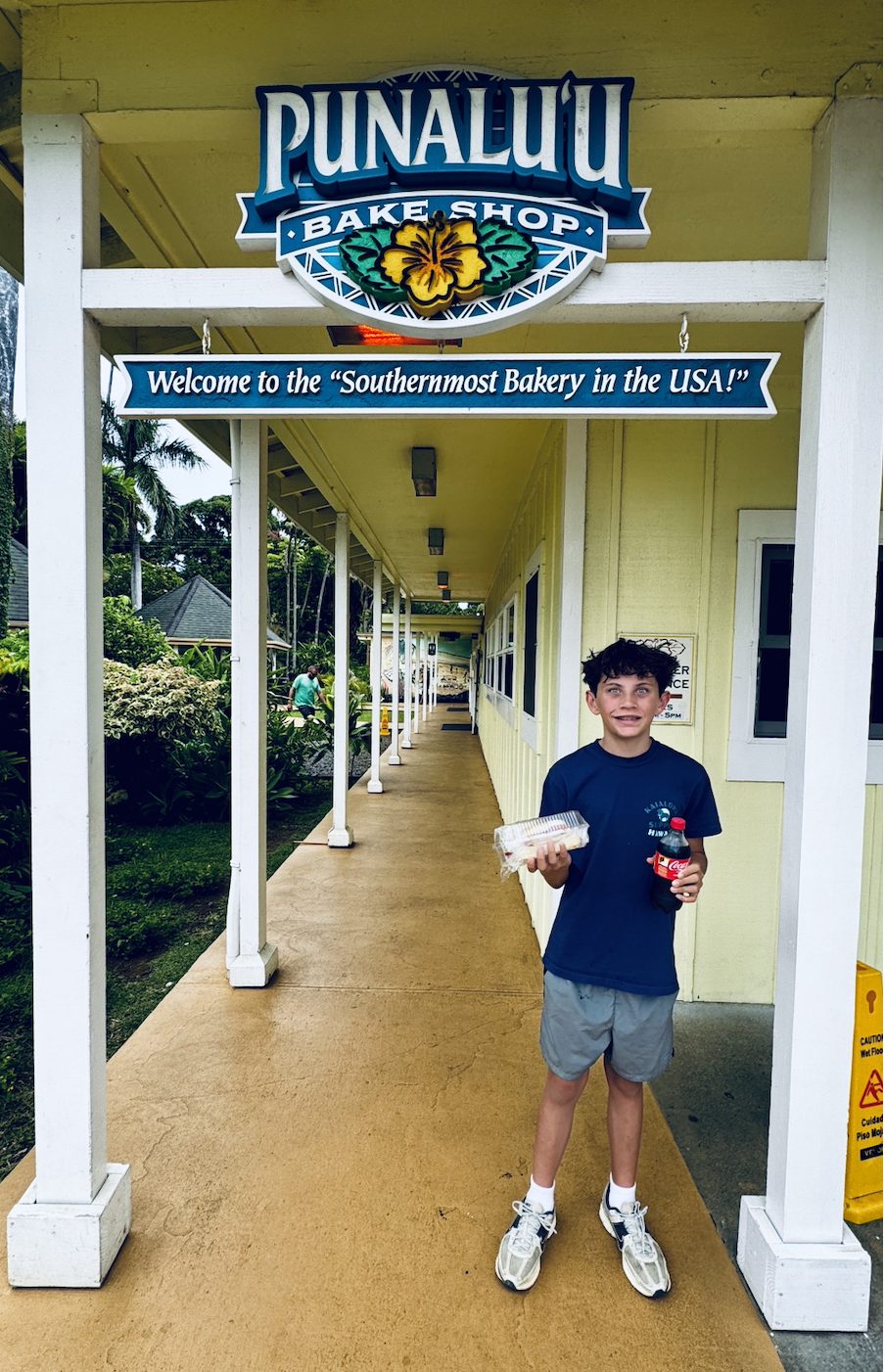

Punalu'u Bakeshop, the southernmost bakery in the United States, and the malasadas we couldn't resist.
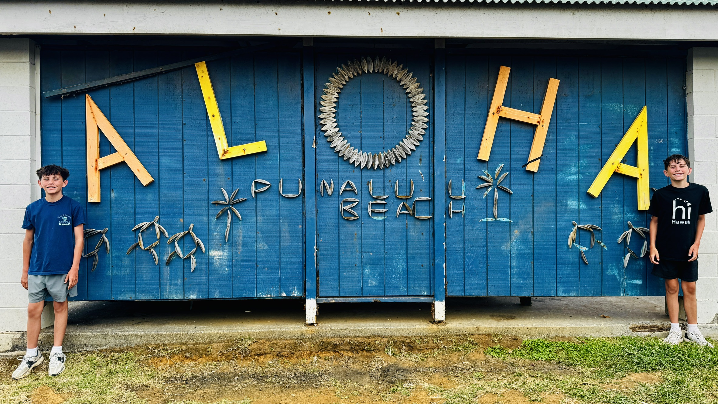
We then continued to Punalu'u Black Sand Beach, which was one of the highlights of our southern route. The contrast of the dark volcanic sand against the lush tropical surroundings was incredible, and the possibility of spotting sea turtles made it an especially memorable stop.
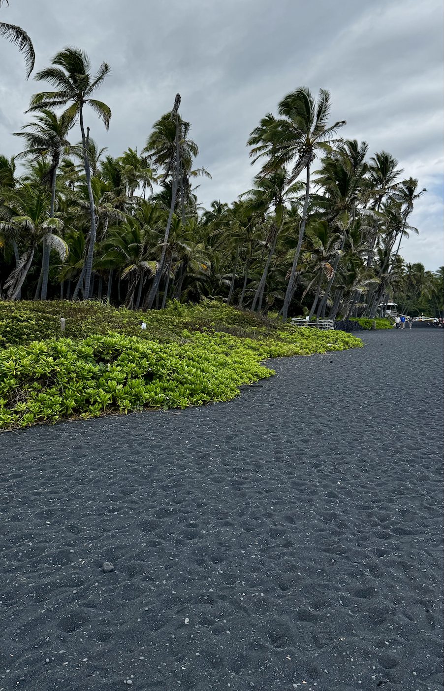
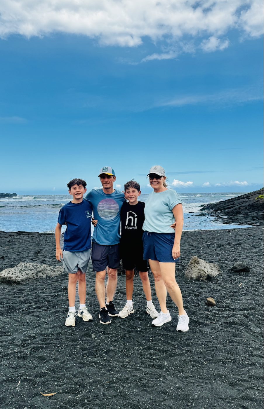
Punalu'u Black Sand Beach, one of the highlights of our southern route.
Finally, we arrived at Hawaii Volcanoes National Park.
Exploring Hawaii Volcanoes National Park
Hawaii Volcanoes National Park showcases the incredible volcanic landscapes that make the Big Island so unique. The park is home to two active volcanoes: Kilauea, one of the world's most active volcanoes, and Mauna Loa, the world's largest active shield volcano.
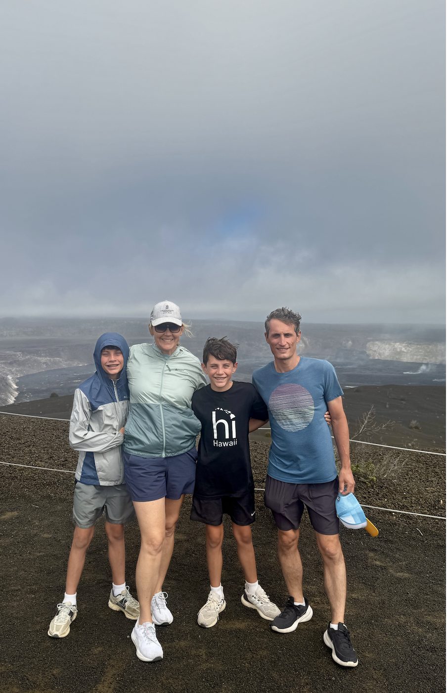
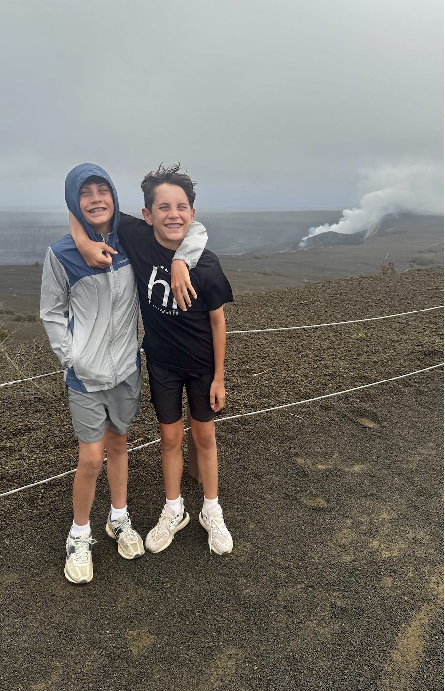
Overlooking Kilauea, one of the world's most active volcanoes.
We explored sections of Crater Rim Road, stopped at Pauahi Crater, Puhimau Crater, and the Kilauea Iki Overlook, viewed steam vents, and walked through a lava tube.
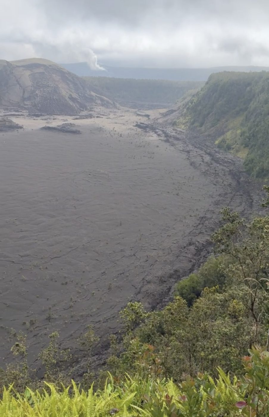
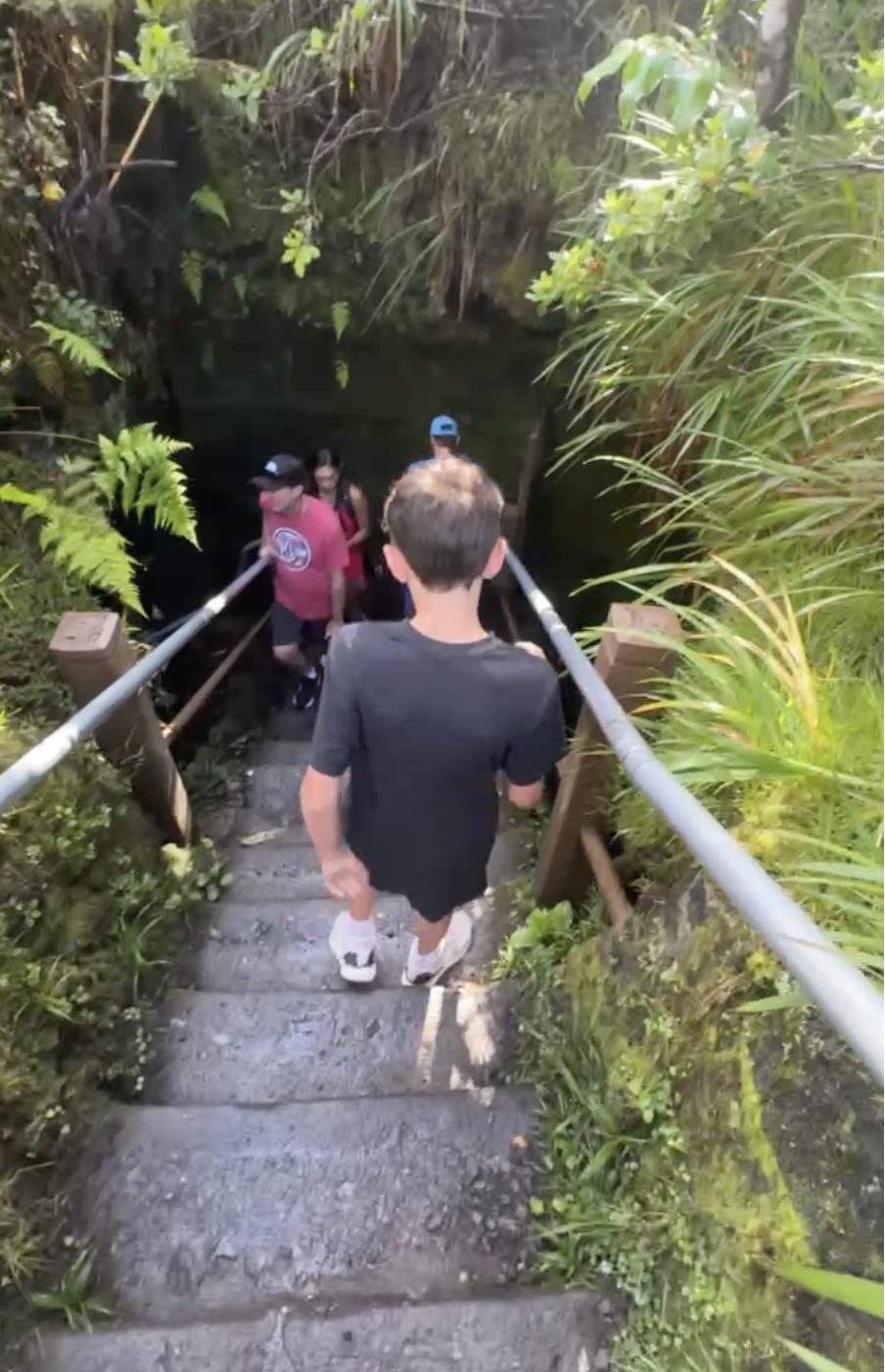
Kilauea Iki Overlook and climbing through a lava tube, two of our favorite stops in the park.
I would have loved to spend more time here, but this was another moment where the size of the Big Island became very real. After our stops, we still had more than two hours of driving back to the Kohala Coast.
The park deserved more time than we were able to give it, and it is a great reminder that on the Big Island, you have to be realistic about what you can fit into one day.
Hawaii Volcanoes National Park deserves its own dedicated block of time, not a quick add on at the end of a long day. When I build itineraries, this is exactly the kind of stop I plan around rather than squeeze in.
Sometimes the best itinerary is not the one with the most stops, but the one that allows you to truly enjoy the places you visit.
Sometimes the best itinerary is not the one with the most stops, but the one that allows you to truly enjoy the places you visit.
The Big Island: A Destination That Lets You Explore More
The Big Island is unlike anywhere else in Hawaii. It is a destination for travelers who want to discover more than just beautiful beaches.
It is standing among volcanic landscapes created by powerful forces of nature. It is chasing waterfalls, discovering local food traditions, watching the scenery transform as you drive, and realizing that every corner of the island tells a different story.
It is also a destination that rewards thoughtful planning. The best experiences are not always the ones closest together on a map, and understanding the logistics can make the difference between a stressful day and an unforgettable one.
That is why experiencing destinations firsthand matters. I want to know what is worth the drive, what experiences require extra preparation, what works for different types of travelers, and where the moments are that make a trip truly special.
The Big Island gave us incredible memories, and there is still more to share.
In Part 2 of our Big Island adventure, I will share where we stayed along the Kohala Coast, the luxury resorts we explored, our sea turtle encounters, and the experience that became the grand finale of our trip: swimming with manta rays after dark.
Ready to Explore the Big Island?
Let us build a Big Island itinerary that balances the adventure with realistic timing, so you get to enjoy every stop instead of racing the clock.
Start PlanningFrequently Asked Questions
How big is the Big Island compared to the other Hawaiian Islands?
- •The Big Island is roughly twice the size of all the other Hawaiian Islands combined, which is why distances between stops take longer than they appear on a map.
How many climate zones does the Big Island have?
- •The Big Island is home to up to 10 of the world's 13 major climate zones, thanks to its elevation and trade winds.
What is the best way to see the Big Island in one trip?
- •Splitting exploration into a northern loop (Waimea, Waipi'o Valley, Akaka Falls, Hilo) and a southern loop (Ka Lae, Papakōlea Green Sand Beach, Punalu'u Black Sand Beach, Hawaii Volcanoes National Park) makes the island's size manageable.
What is Waipi'o Valley?
- •Known as the Valley of the Kings, Waipi'o Valley is a lush, cliff-lined valley with deep cultural significance in Hawaiian history.
Is Ka Lae (South Point) safe to visit?
- •Ka Lae is rugged and remote, with strong currents and no lifeguards. Visitors who enter the water use a rope and pulley system to climb back out, and the area should be approached carefully.
Is Papakōlea Green Sand Beach worth visiting?
- •It depends on the traveler. The truck ride and hike are rough, and the sand often looks more olive brown than the vivid green shown in photos, so it is worth weighing the logistics against the payoff before deciding.
How long does it take to reach Papakōlea Green Sand Beach?
- •The truck ride itself takes about 45 minutes each way over uneven terrain, in addition to the time spent at the beach.
How much time should I plan for Hawaii Volcanoes National Park?
- •More than a few hours. The park includes Crater Rim Road, Pauahi Crater, Puhimau Crater, the Kilauea Iki Overlook, steam vents, and a lava tube, and it deserves a dedicated block of time rather than a quick stop.
What food should I try on the Big Island?
- •Malasadas are a must, whether from TEX Drive-In on the northern loop or Punalu'u Bakeshop on the southern loop, along with Hawaii's famous sweet bread.
What is the difference between the Kona side and the Hilo side of the island?
- •The Kona side tends to be dry, while the Hilo side is lush and tropical, a contrast that shows up clearly when driving between the two in a single day.